How field data reaches IrrigTech Cloud
Every data source uses the connectivity that fits it — the platform brings it together in one place.
Sources
Drone, field nodes, weather and irrigation sensors, and manual farm records.
Connectivity
LoRa/LoRaWAN, WiFi, or LTE/cellular, chosen per device and site.
IrrigTech Cloud
Data lands against the correct field, zone, and timestamp.
AI / analytics
In developmentModels look for anomalies, trends, and season-over-season change.
Database
Every field's history is retained for comparison over time.
Dashboard
Web dashboard, with a mobile-friendly view for field use.
You
Farmer, agronomist, or farm manager — reviewing and deciding.
One permanent history per field
Every field builds its own record over the season — scans, sensor data, water use, and treatments, in one timeline.
Field established
Boundary, crop, variety, and planting date recorded once.
Scan 01 — baseline
Initial drone scan and sensor readings set the reference point.
Scan 02 — in-season
Compared automatically against the baseline for change over time.
Water, soil & treatments
Irrigation events, soil readings, and input applications logged as they happen.
Harvest / yield record
Season closes out with a harvest record for next season's planning.
Where each part stands, and what's ahead
IrrigTech is being built in stages. Here's what each capability actually is right now.
Monitor
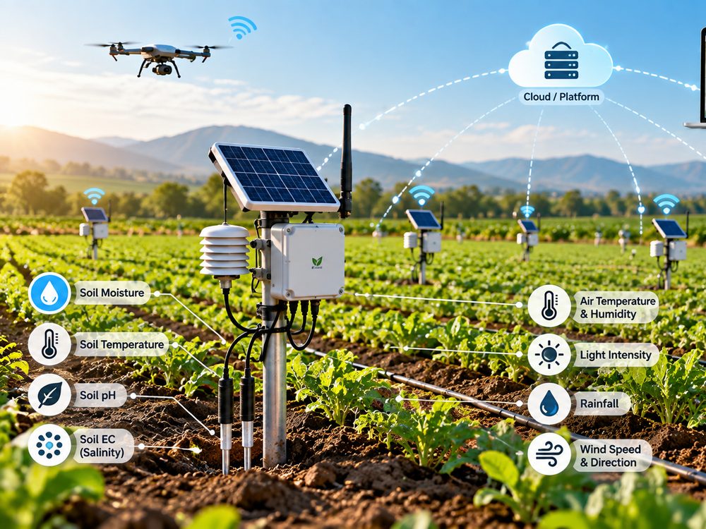
Field sensors, water and irrigation monitoring, and farm input records — IrrigTech's prototype hardware and demo dashboard, quoted through a project consultation.
Scan
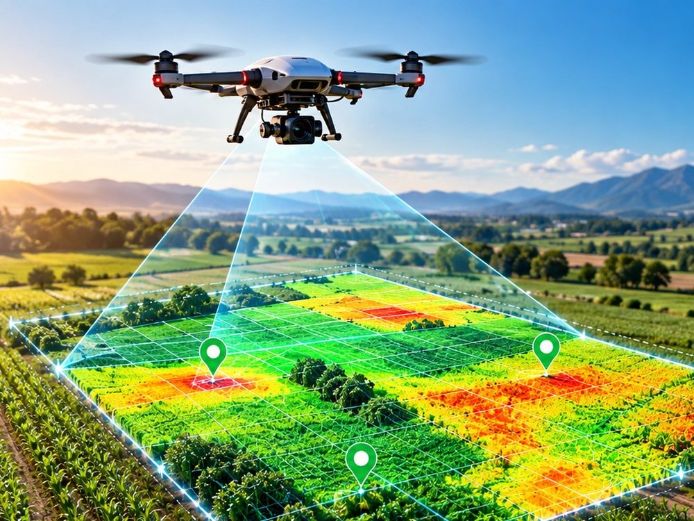
Drone-based field mapping and crop imagery. Hardware specification is defined; field testing is ongoing.
Analyze
AI-assisted crop and stress analytics from sensor and imagery data. Not yet validated for commercial decision-making on its own.
Predict
Trend and yield intelligence, where the underlying data has been validated for a given crop and region.
Automate
Expanded irrigation and treatment automation workflows, building on manual and threshold-based controls that are still at prototype stage.
How a first project runs
New capabilities are introduced on a limited number of fields before wider deployment.
Assessment
We review your fields, crops, and what you're trying to learn or solve.
System design
We propose which hardware and monitoring makes sense for your site.
Limited deployment
Installation on a defined set of fields or zones, not the whole farm at once.
Baseline collection
A period of monitoring establishes what "normal" looks like for your fields.
Drone / sensor monitoring
Ongoing scans and readings build the field record through the season.
Results review
We go through what the data showed, together, before scaling up.
Farm-wide deployment
Once the first fields are validated, the system extends across the farm.