See every field. Understand every change.
IrrigTech, an engineering project by Pak-EL LAB, is developing one connected agricultural platform that combines aerial crop scanning, field sensors, irrigation intelligence, and farm management software. A few hardware items exist as prototypes quoted through a project consultation; the rest is planned — see what's built vs. planned.
Everything feeds one field record
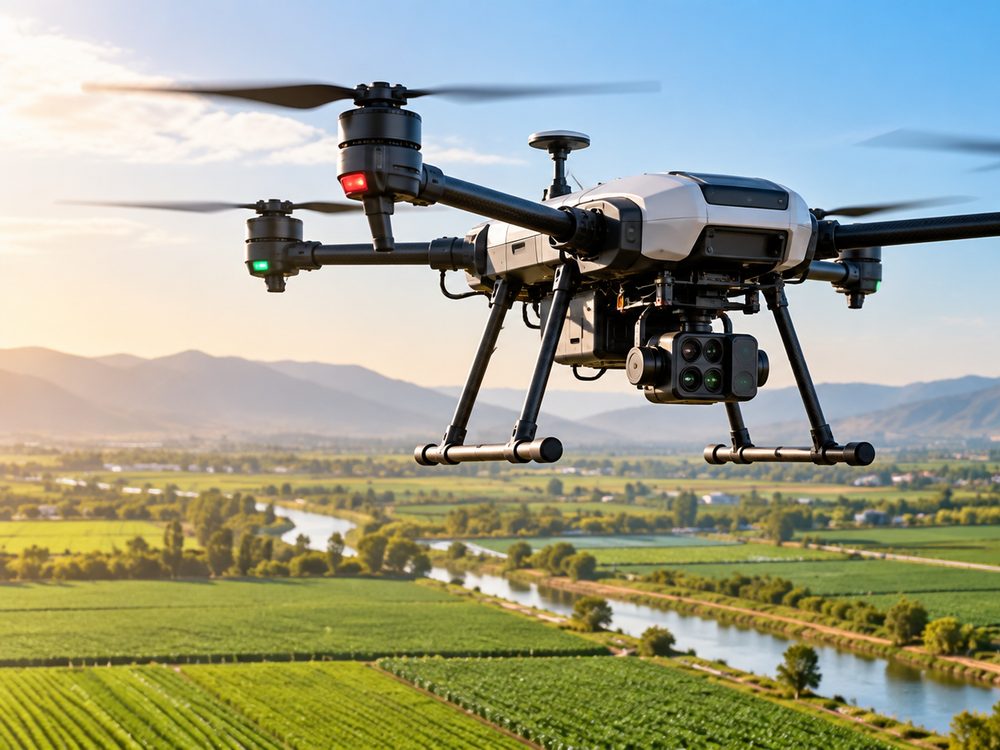
Drone
Aerial field scanning
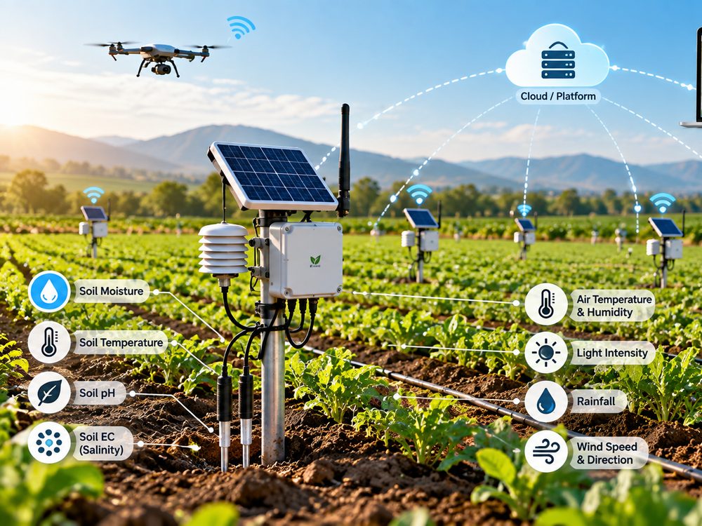
Field Nodes
Distributed sensors

Water
Irrigation & water use
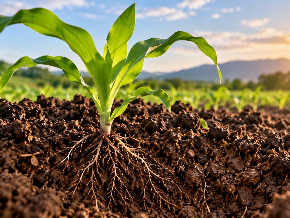
Soil
Moisture, EC, temp
AI-Assisted Analysis
Decision support
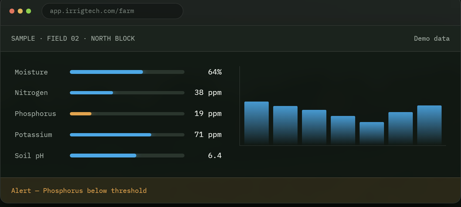
Software
Dashboard & field record
Signals worth a closer look
AI-assisted detection and anomaly flagging — decision support for your team, not an automatic diagnosis.
Crop Health In development
Drone imagery is designed to flag suspicious crop patterns and abnormal stress for you to verify on the ground.
Nutrient Stress In development
Planned: potential nutrient-deficiency patterns identified from imagery and sensor data together — lab or field verification recommended.
Crop Growth In development
Planned: emergence, canopy development, and change over time, tracked scan to scan.
Water Stress Prototype
Planned: under- and over-irrigated areas identified from soil moisture data by zone.
Soil Condition Prototype
Planned: moisture, temperature, and EC from field sensors, with spatial variability across the field.
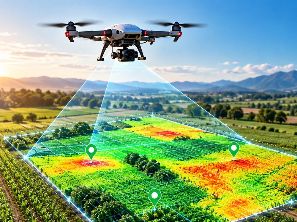
Field Scanner Drone
High-resolution crop intelligence — repeatable field scans, compared scan over scan; autonomous operation is a design target.
- RGB field imaging
- Multispectral mapping
- Repeatable field scans
- Georeferenced crop imagery
- Planned: automatic mission planning
- Historical comparison
Field nodes & smart irrigation
Five prototype-stage devices, designed to be sealed and solar-friendly, covering soil, weather, and water.
Concept illustrationIoT Sensor Node
Planned multi-probe hub for soil moisture, EC, pH, and air temperature/humidity.
Spec sheet →Concept illustrationSoil Moisture Sensor
A dedicated probe for placing many moisture points across one field.
Spec sheet →Smart Valve Controller
Designed to open and close irrigation valves when a threshold is crossed.
Spec sheet →Pump Controller
Starts and stops your pump remotely; dry-run and overload protection are design features, not yet field-verified.
Spec sheet →Field Gateway
Designed to collect every node on the farm and push it to your dashboard over 4G or WiFi.
Spec sheet →IrrigTech Farm Management Software
One dashboard for field status and history; alerts are planned.
From scheduled scan to field map
Schedule
Autonomous scan (design target)
Data sync
AI-assisted analysis
Field map
Field record
One history, all season
Field established
Planned inputs: boundary, crop, and planting date.
Scans 01, 02, 03…
Planned: compared automatically against the baseline.
Water, soil & treatments
Planned: logged as they happen.
Harvest / yield
Planned: closes the season and informs the next one.
How deployment works
Assessment
System design
Limited deployment
Results review
Farm-wide rollout
Why growers work with IrrigTech
Earlier problem detection
Designed to flag suspicious changes across a field before they're visible from the ground.
Water-use insight
Designed to use sensor and irrigation data to inform when and how much to water.
Better field visibility
Designed to show spatial differences across the whole field, not just where you happened to walk.
Data-driven decisions
Planned: historical and current field data side by side.
Targeted attention
Designed to direct scouting and treatment to the zones that actually need it.
Field performance tracking
Planned: see how zones perform season to season.
One digital record
Planned: scans, sensor data, and treatments in a single field history.
Scalable platform
Designed for a single field or a multi-farm operation.
Where each part stands, and what's ahead
Monitor
Field sensors, water monitoring, and farm input records.
Scan
Drone-based field mapping and crop imagery.
Analyze
AI-assisted crop and stress analytics.
Predict
Trend and yield intelligence, where validated.
Automate
Expanded irrigation and treatment automation.
Common questions
Is the Field Scanner Drone available to buy today?
No — it's currently a prototype. Field sensors, valve and pump controllers, and the field gateway are IrrigTech's prototype hardware, quoted through a project consultation.
What does "AI-assisted analysis" actually mean?
It means imagery and sensor data are processed to flag anomalies and patterns worth a closer look — decision support, not an automatic diagnosis. Ground verification is recommended before acting on any flagged area.
Can the drone diagnose plant disease or exact nutrient levels?
No. RGB, multispectral, and thermal imagery can indicate stress patterns worth investigating, but they can't reliably diagnose a specific disease or measure exact nutrient concentrations on their own.
Does IrrigTech work without reliable internet in the field?
Field nodes and gateways are designed to store readings locally and forward them once a connection is available, rather than losing data during a signal gap.
What happens if I get an automation threshold wrong?
Automated irrigation is designed to act only on the thresholds you configure, and is not yet validated in the field. You can review and adjust them at any time; manual control is planned as a design feature.